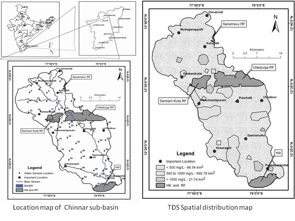
The study found that the groundwater of the basin is extremely hard with total hardness, magnesium and potassium contents being above the permissible limits. Thirty nine out of 57 samples exceed the allowable limits for fluoride.
 Introduction: The paper begins with an explanation of the parameters on which the quality of groundwater depends. These parameters include the nature of the rocks that comprise the aquifer and pollution of surface water. This paper investigates the chemical processes that occur between groundwater and rocks in hard rock terrain. In this study, analysis of groundwater for various physico-chemical parameters has been combined with a GIS-based study to understand the spatial variation of groundwater quality parameters.
Methodology: 57 groundwater samples have been tested on the field and in the laboratory for several physico-chemical parameters including pH, EC, TDS, Ca, Mg, sulphate, carbonate, bi-carbonate etc. The basemap was created using toposheets and their attributes created and analysed in ArcGIS software.
Results,discussion and conclusions: The results of the groundwater sampling are presented in tables in the paper and summarized in the conclusions.


